Along with showing visible improvements relative to site boundaries, a Site and Topographic Survey plan shows geodetic elevations of the site.
This type of survey is used to obtain development permits, and as a base for design of new structures, storm-water management plans and much more.
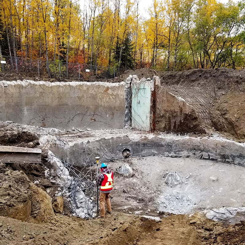
A Site and Topographic survey is integral to any new construction or development project. This process ensures that all encumbrances, such as rights or ways or easements are clearly marked to minimize barriers to future development. It also provides the most accurate assessment of the site as it exists at the time of survey.
This survey can be tailored to your needs and the scope scaled up or down to suit any project. It can be as comprehensive as a 3D drawing with elevation renderings of buildings or as simple as a plan showing boundaries and encumbrances only.
Hagen can also incorporate UAV technology to add recent aerial photography overlays on the plan. This feature provides additional visual information that can further define and speed your project along.